Project Description
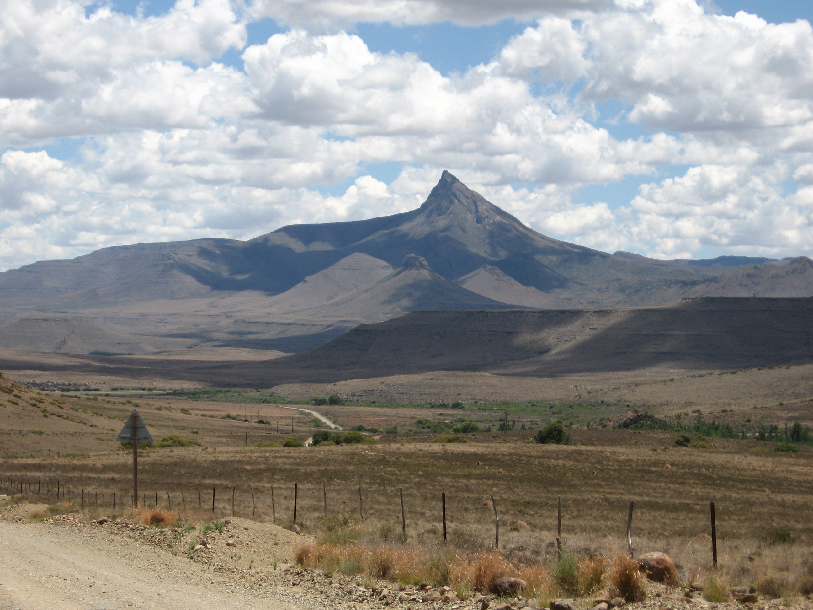
If you’ve ever been to Nieu-Bethesda, you will have spotted the sharp peak on the Northern horizon. It’s difficult to miss.
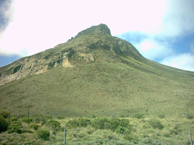
At 2502m the spectacular Compassberg is the highest peak in the Sneeuberg range of the Karoo’s Great Escarpment and one of the highest free-standing peaks in Southern Africa.
Previously known as “Spitskop” ( older locals still call it this ), the Compassberg was named by Colonel Robert Jacob Gordon when he accompanied Governor Joachim van Plettenberg on a journey to the eastern frontier of the Cape Colony in 1778.
Apparently, during the Anglo Boer War, the heliograph world record was set here by British troops who managed to send a message over 200km to the Cockscomb, near the coast.
The mountain is composed of sediments of the Beaufort Series in the Karoo System, extensively intruded by dolerite dikes and sills. and lies in the Afro-montane belt comprising escarpment grassland and Karoo shrub.
The Compassberg, together with its neighbouring mountains provides a critical water catchment area, covering over 40 000 hectares of livestock and game farms. In fact, it was recognition of this precious water catchment function that led to the proclamation of the first protected environment in the Karoo, the Compassberg Protected Environment (CPE).
The CPE holds the upper catchments of the Klein Zeekoei, the Klein Brak and the Diepkloof Rivers, feeding into the Orange, Great Fish and Sundays Rivers respectively. These are three of the most important river systems in South Africa, supplying water to the surrounding towns of Middelburg, Nieu Bethesda, Graaff-Reinet and Richmond.
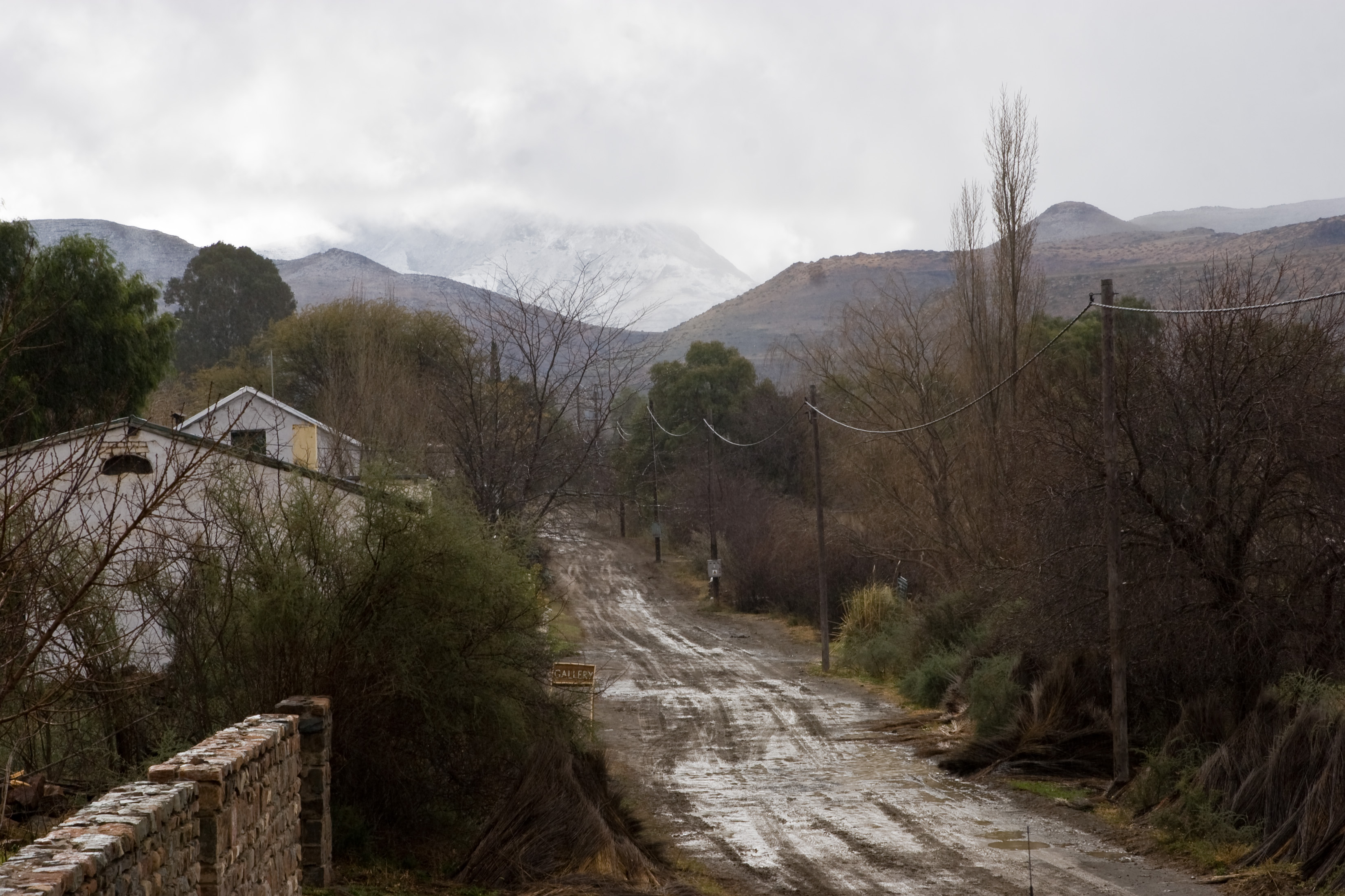
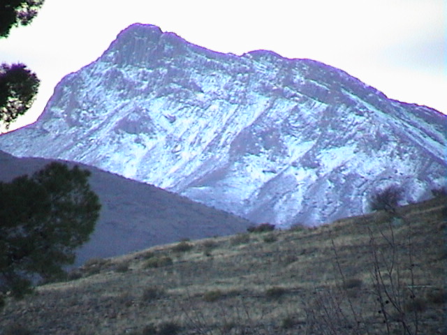
Cold is critical to this watershed role. Not only is the rainfall higher but the temperature, especially during winter, is lower than the surrounding areas. This is important in a region where evaporation is in the order of 10mm a day. The top of the catchment is able to retain water that has fallen in autumn (the long-term rainfall peak for the area) through to spring. This retention of water enables subsurface flow, groundwater penetration and recharge to occur in the surrounding areas.”
The CPE, which conserves a large, unique altitudinal gradient extending from 1400-2500m, is recognised as a centre of endemism. More than 1200 flowering plant species have been recorded in the greater Sneeuberg area, 33 of which are endemic and 13 are near endemics.
Within the CPE there are at least two species of special concern, Euryops petraeus and Selago retropillosa, both listed as ‘Rare’ and known nowhere else. Conservation of the CPE will significantly contribute to the conservation of montane endemics.
The Compassberg also has a snake,the Plain Adder (Bitis inornata) and a butterfly, the Compassberg Skolly (Thestor compassbergae) that occur nowhere else in the world.
Of the 133 bird species that have been confirmed to occur in the CPE seven are listed as vulnerable and eight are listed as near threatened, including the Secretary Bird, Black Harrier, Lanner Falcon and Blue Crane.
It was in this region that legendary botanist and veld restoration pioneer, John Acocks, experimented with high density, short duration grazing in the 60s and 70s, and coined the phrase ‘understocked and overgrazed’.
Time: 4 hours each way from Compassberg Farmstead (8
hours return)
Compassberg Farm is an hour’s drive from Nieu-Bethesda on gravel
roads which are not regularly maintained
Difficulty: Moderate to difficult.
The route is exposed and poorly marked. There is no water on the
mountain and the last hour is a scramble.
Do not attempt in bad weather.
It is often extremely windy and in winter expect freezing
temperatures. Anything from -10 to +40°C is possible.
Permission is needed from landowners: Brenda James – M: 082 596 6475
Get directions and information on the current state of the road from The Owlhouse Backpackers opposite the Owlhouse Office in Martins St.
T: 049 841 1642
M: 072 742 7113
E: accommodation@nieu-bethesda.com
Directions:
- From the Compassberg farmstead, follow the jeep track for about 6 km o the foot of the mountain.
- Head straight up the gulley to a ledge from where cairns indicate the way to the summit.
- Montane grassveld is the dominant vegetation type for most of the climb
- The summit yields spectacular 360° views of the Karoo on a clear day and one can easily locate the small town of Nieu-Bethesda to the south.
Click here to download a map for the walk.
The Compassberg also caters for the more adventures rock climbers. This can be pretty dangerous if you are not experienced.
Experienced rock climbers find more info by visiting the Eastern Cape Rock Climbing website .


